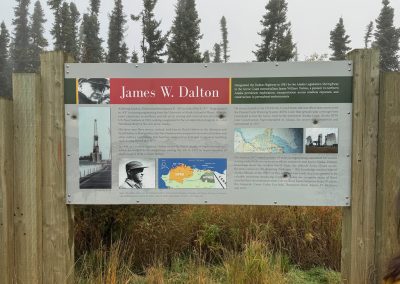
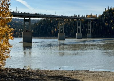
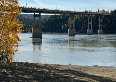
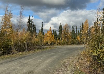
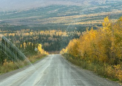
Today, we traveled above the Arctic Circle on the Dalton Highway (Alaska Route 11). Yes, it was a very long day (had to get up abour 4:30 a.m.). Most rental car companies forbid driving on this road so we took a tour bus. It was a wise investment. Even the tour bus lost a windshield wiper that day (not the wiper blade, but the entire wiper assembly). The road is very rough. Tim (our driver) provided a wealth of interesting facts as we drove along. For example, only 4% of the people who visit Alaska each year actually travel above the Arctic Circle (that translates to roughly 100,000 people). We also crossed the only U.S. bridge over the Yukon River. For those who don’t know, the Yukon is the 4th longest river in North America (Mississippi, Missouri, McKenzie, then Yukon). To get to the Dalton Highway, we traveled the Steese Highway, then the Elliott Highway, and then accessed the Dalton Highway. The highway itself is 414 miles long and ends at Deadhorse (near Prudhoe Bay, Arctic Ocean). It is named after James Dalton (an engineer who supervised construction of the Distant Early Warning line in Alaska). It was a foggy start to the trip (and we learned that the valleys are often much colder). There are temperature investions due to the vast amounts of permafrost. Most of the highway is covered in chip seal (essentially gravel coated with oil). It was built as a supply road for the Trans-Alaska Pipeline in 1974.
Here is a fun fact – in Fairbanks and surrounding areas, they only cancel elementary school recess when the temperature is below -20° F.
Another fun fact – the Dalton Highway was featured as the permier epidsode of the BBC’s series – World’s Most Dangerous Roads. This quote (from the Wikipedia article linked above sums up travel on this highway.
Anyone embarking on a journey on the Dalton is encouraged to bring survival gear.
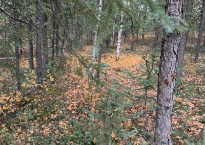
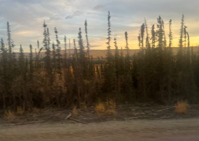
Most of the trees we saw at the start of the highway were white spruce, paper birch, quaking aspen, black spruce (which typically idicate permafrost beneath), balsam, poplar, and tamarack. Black spruce are very slow growing (and can appear as mere spindles but may be over 200 years old).
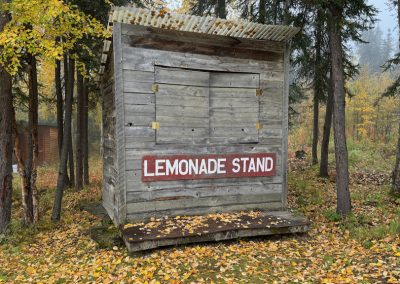
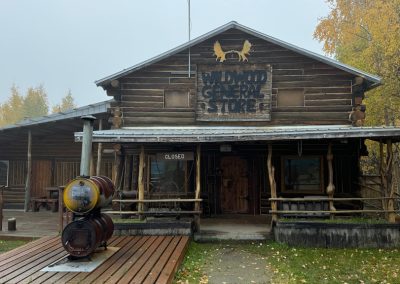
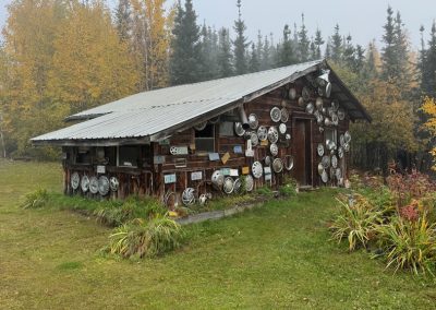
We left Fairbanks at 6:30 a.m. for a roughly 18 hour day covering roughly 200 miles; our first stop was the Arctic Circle Trading Post (mile marker 49 on the Elliott Highway). This is Joy, Alaska (named after Joy Carlson who once lived there). Her son, Joe, set up the store with his wife and 23 kids (18 were adopted). It is now owned by the Northern Alaska Tour Company (our driver/ guide). It has a sign “Wildwood General Store,” but all is closed. During the height of the pipeline construction, the Carlson family daughters ran a lemonade stand for truckers. I understand they did quite well. It is now used as a pit stop for tours such as ours and for aurora viewing by the same company.
Here are some photos of the trading post.
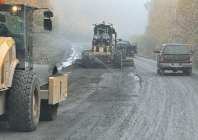
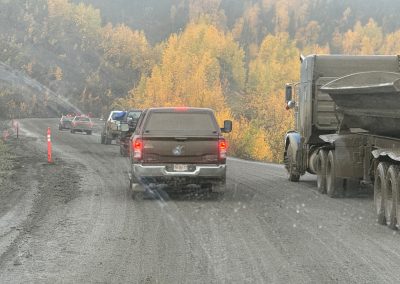
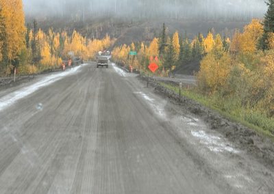
Here is another fun fact – the Dalton Highway is always under repair (even more than Illinois roads – and that is saying a lot). Although most of the road is not paved and is covered in chip seal, it is placed over permafrost. And, the permafrost melts. Additionally, ice lenses tend to crack the road. These are caused when water freezes and is them pushed upwards by frost heaving. All of this leads to a rather unstable roadbed. Parts of the highway had to be rerouted in the past few years because of major structural problems with the roadbed. Here are a few photos of the road construction. We had to stop for roadwork on several spots along our trek.
We learned from our driver that one rerouted section contained many twists and hills. It began breaking apart in 1997. There is now a 5 mile reroute called Happy Man Reroute. The older section was named Happy Man and drivers were happy to make it out alive.
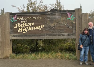
We next stopped at the Dalton Highway sign. There is a large gravel parking lot. It is important to not get too close to the road as people have been injured by flying gravel from passing trucks. I found it interesting/ distressing that our driver announced on his CB radio each time we entered or exited the highway so trucks travelling nearby would know to begin slowing. There were some spots where he announced our presence before going up or down a long hill. At one spot, we were adviced to wait until a large truck made it safely down the hill before we began going up.
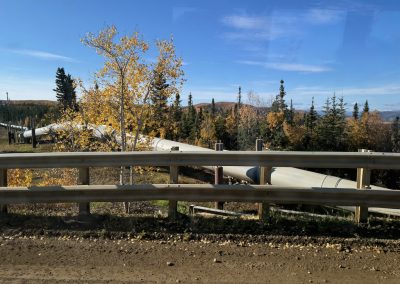
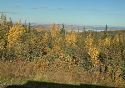
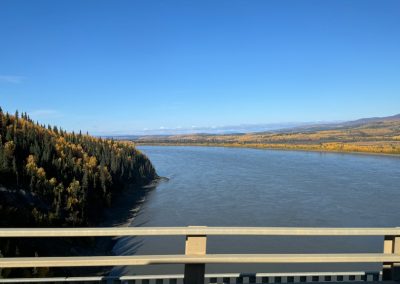
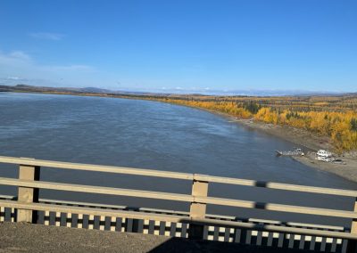
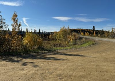
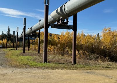
We are clearly in taiga (major biome of cold subarctic regions) now. Black spruce dominate (remember they are growing on permafrost so they are not that large). We got our first views of the Trans-Alaska Pipeline and the Yukon River not long after this stop. Here are a few more photos.
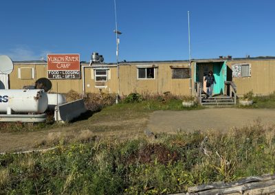
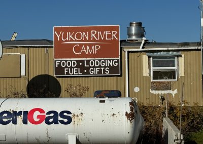
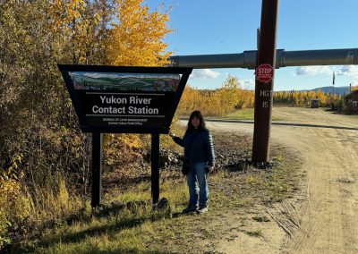
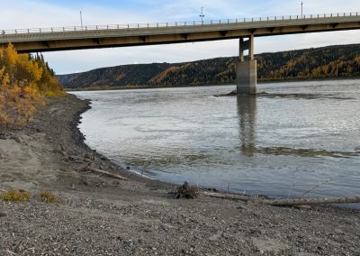
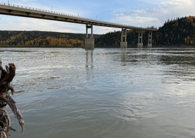
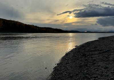
Our next stop was the Yukon River Camp. It is just north of the only American bridge across the Yukon River. The bridge itself has wooden planks to support traffic. This is to keep the overall weight down on the bridge. This is roughly mile 56 on the Dalton Highway. The Arctic Circle is roughly at mile marker 115. We stopped for a restroom break and for lunch. Ruth and I brought snacks. We passed a number of pingos along the way (some are likely visible in various photos). These are ice core hills and only form in permafrost environments. The link above has more information. However, suprisingly not that much is known about them. We learned that the terms fall and spring are not used commonly this far north. Instead, the terms freeze-up and break-up are used to describe the river and streams. The Yukon River itself supports all 5 salmon species. An easy way to remember the species is to look at your hand. Your thumb stands for chum salmon, pointer finger is sockeye, middle finger is king, ring finger is silver salmon, and pinky finger is pink salmon. Sadly, we learned that all these species are in decline in the Yukon River. The climate in the Arctic is changing much faste than other parts of the world and the salmon are not adapting quick enough.
The Yukon River Camp is halfway between Fairbanks and the Brooks Mountain Range. The parking lot is a large gravel pad and was used as a material storage area during construction of the Trans Alaska Pipeline. Here are some photos from our stop at lunch. We also returned for supper after visiting above the Arctic Circle.
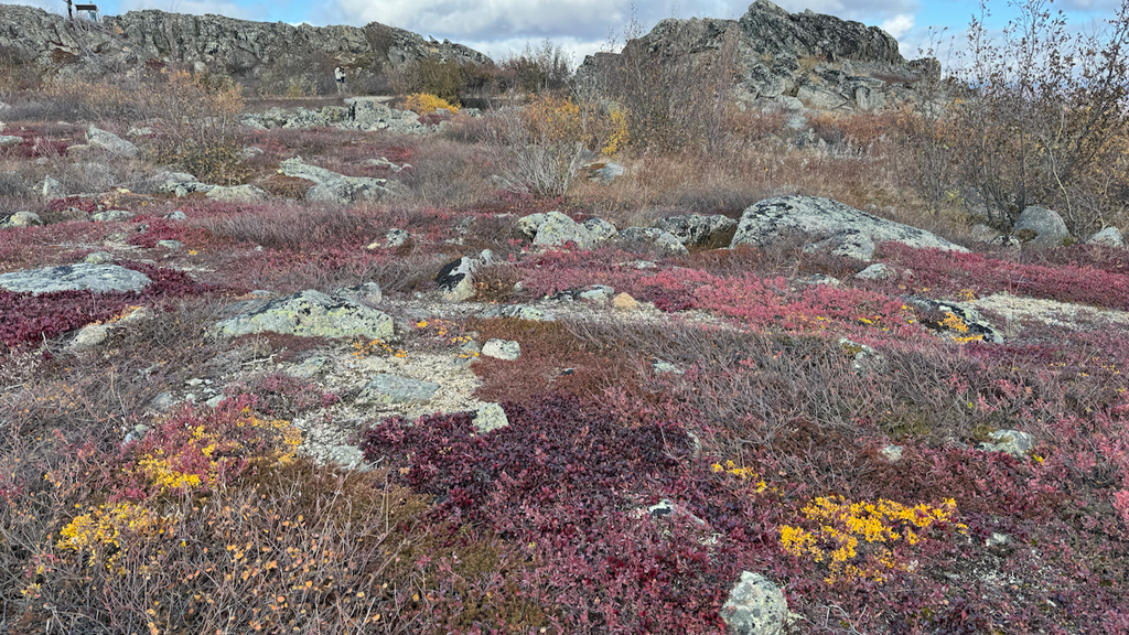
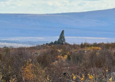
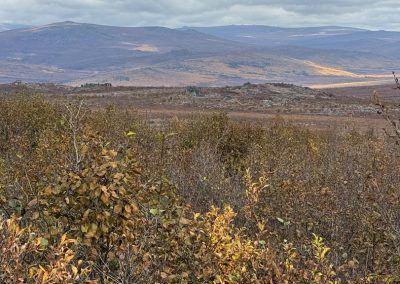
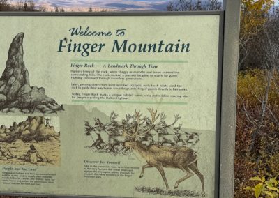
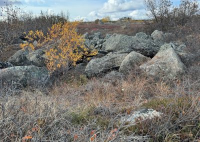
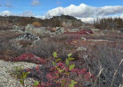
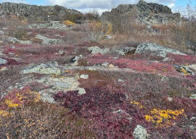
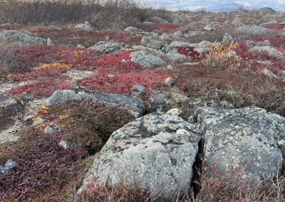
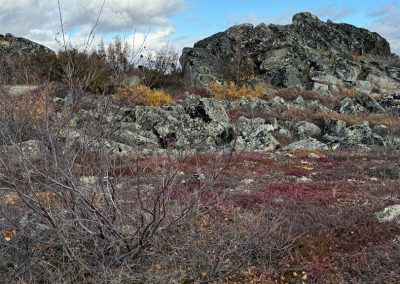
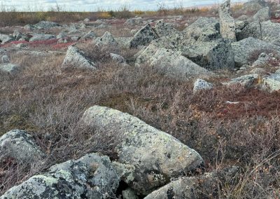
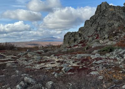
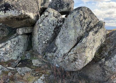
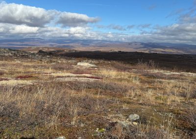
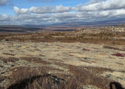
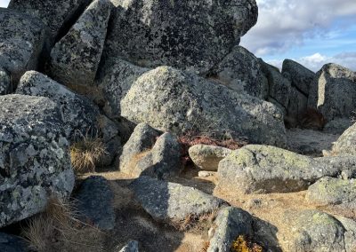
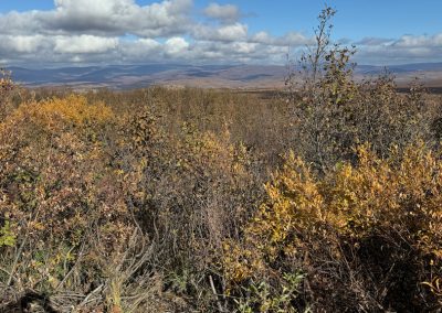
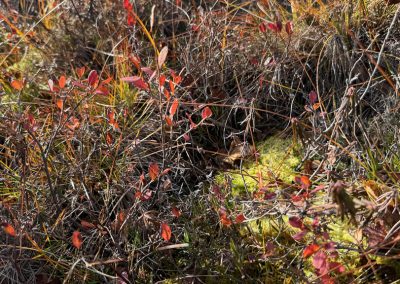
We next stopped at Finger Mountain (named for nearly Finger Rock). The rock was a major landmark for pilots flying over the area in the early parts of the last century. This landmark is past Roller Coaster Hill on the highway (wonder why they named it that). Finger Mountain is a great example of tors (not The Onion Router kind). Tors represent unglaciated bedrock which has experienced intense frost wedging during major climate changes. Most of the rocks are quite weathered (as you see in these photos). There were restrooms at this stop as well. I mention this because there are not many places to stop along the highway. The bushes in some photos are dwarf birch. We are clearly in the tundra biome now. Extreme cold and low precepitation are characteristics. Native Athabascans call this “hungry country.” There are birds/ animals but the land is immense and many are dispersed over vast distances. I hope you enjoy these photos of the area.
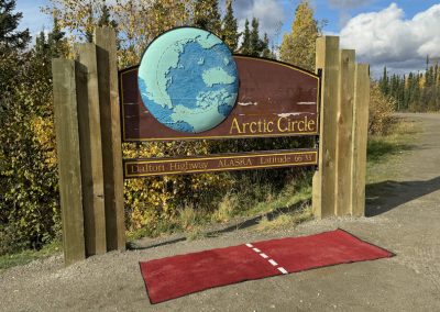
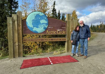
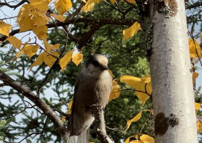
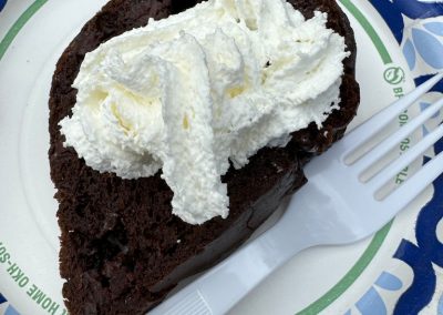
Onward, northward. After Beaver Slide (another part of the Dalton Highway), we finally arrived at the Arctic Circle. There is a large sign, restrooms, and a nice camping area. We all took photos of each other at the sign. We did receive certificates confirming we crossed the Arctic Circle. We celebrated with a cake called “tundra mud.” Of course, it was covered with perma-frosting. I couldn’t make this up if I tried. A picture is included in the gallery. We were also visited by some birds who seemed very happy we dropped crumbs of chips and other snacks. Although I have flown over the North Pole, this is now the furthest north I have ever been on land. It is quite a different biome as you can see from these photos.
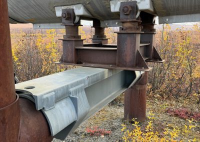
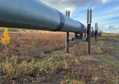
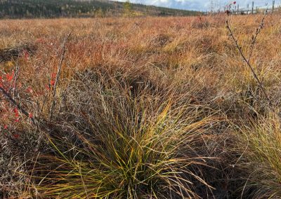
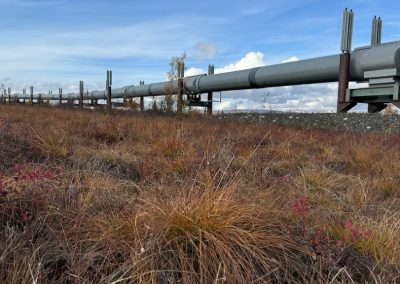
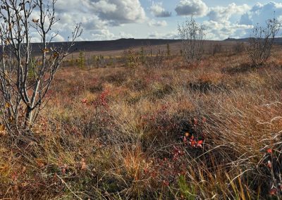
After exploring the area, we began our return to Fairbanks. We stopped at Kanuti Flats on the return to examine the tundra in closer detail and to also view (and touch) the Trans Alaska Pipeline. The pipeline was built between 1975 and 1977. It runs roughly 800 miles from Prudhoe Bay to the port at Valdez. The pipeline is 48 inches in diameter and has 12 pump stations to help the oil move along the route. The crude oil is about 120° F and would rapidly melt the permafrost. Therefore, most of the pipeline is elevated. The supports contain a gas which expands and contracts with temperature changes so the pipeline moves up and down through the seasons. Given the number of earthquakes (Alaska is on the Pacific “Ring of Fire”) and other ground movement, the pipeline also rests on Teflon coated pads which move from side to side. It is quite the engineering accomplishment. The estimated life of the pipeline was 20 years; it has now been transporting oil for 50 years. It may be extended due to the addition of another oil field called the Willow Project. Here are more photos of the pipeline as well as the tundra at Kanuti Flats.
We were able to see the Brooks Range on our journey north. We stopped again at Yukon River Camp on our return and enjoyed a nice bowl of chili with potato bread. The sun was setting as we left the area and began our return to Fairbanks. Our driver, Tim, announced that we had cell phone service as we crested Wickersham Dome on the return. Neither Ruth nor I missed not having any cell service or Internet access the entire day. We got back about 12:30 a.m.
Upon our return to Fairbanks, we got some sleep and then visited the Museum of the North. That is the subject of my next article.
