This was our first full day in Alaska in 2024. It was great to return. We ate a quick breakfast at the hotel (Hampton Inn). Ruth saw a bald eagle flying while we were eating breakfast. After checking out, we began driving towards Denali National Park and Preserve. We drove Alaska Route 3 (George Parks Highway). This is the main highway connecting Anchorage and Fairbanks (323 miles) was completed in 1971. It is named for the governor of the territory of Alaska (from 1925 – 1933). Mileposts reflect distance from Anchorage. Most of the way, the highway paralells the Alaska Railroad. Our first view of Denali was along Chena Ridge (roughly 100 miles from the National Park).
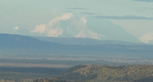 The mountain is so large, it looks like clouds in the distance; the top half of this photo is mostly Denali. After all, it is the highest mountain peak in North America and the highest mountain (when measured from base to peak on land; third highest peak when measured in total elevation above sea level). It is located in the Alaska Range. The Koyukon people have called it this for centuries. It was named Mount McKinley by a gold prospector in 1896 and so recognized by that name by the U.S. Government until 2015. Alaska had already changed the name back 40 years prior (1975).
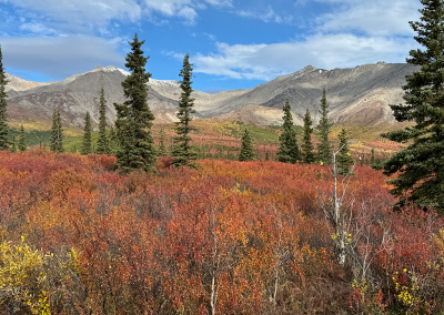
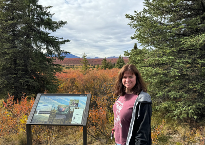
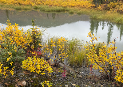
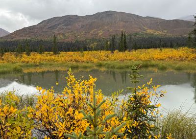
We entered Denali National Park and Preserve and discovered a large number of visitors at the Visitor Center and at various observation points. We ended up skipping the Savage River overlook this afternoon and spent time at the Mountain Vista overlook (parking lot was a lot less crowded, but still there were many vehicles). Here are some fo the photos we took as we walked along the trails at this spot. The fall colors seemed to be in full display.
In case you didn’t know, you can click on any photo in these galleries to see a larger view. You can also navigate from one image to the next in that larger view using the < and > icons on each side of the photo. To return to the main page, just click/ tap the X in the upper right.
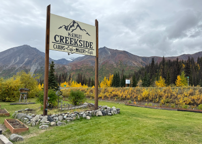
We stayed at McKinley Creekside Cabins (mile 224 on the Parks Highway; 15 minutes south of Denali National Park). This facility is owned by Tracey Smith and Holly Slinkard for the past 27 seasons and received high reviews. Ruth found this gem in her searching for lodging and dining in the Denali area. So glad she found this. Great spot and very friendly people. In addition to lodging, they have a restaurant which served Alaska sized cinnamon rolls. Keep in mind Alaska is 2 times the size of Texas (at high tide) and 3 times the size of Texas at low tide.
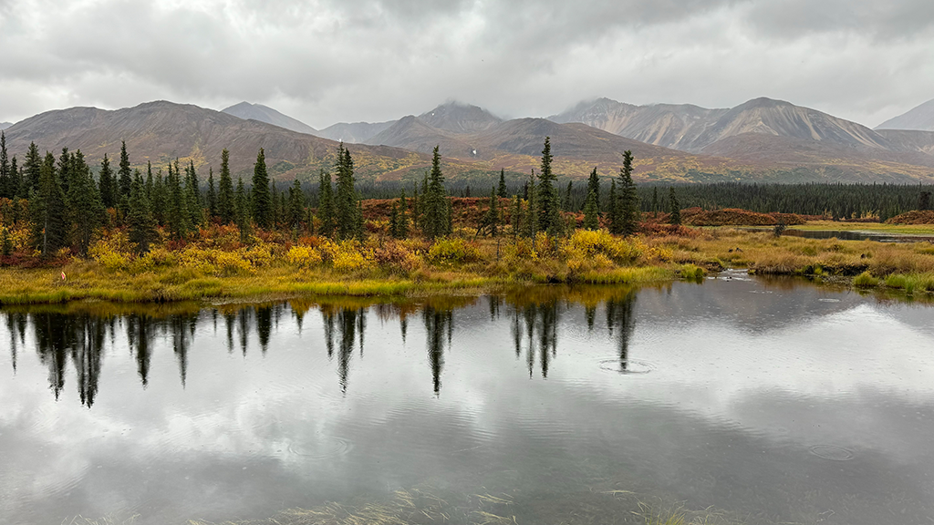
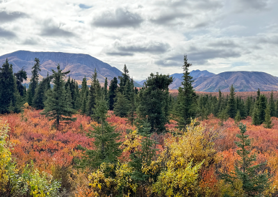
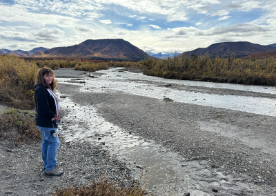
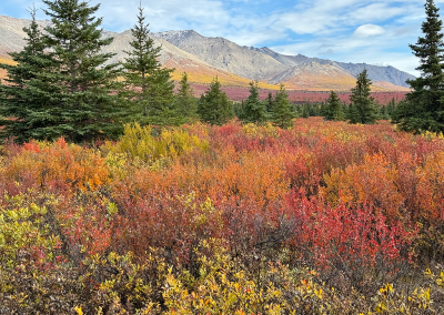
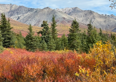
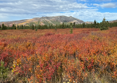
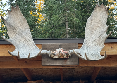
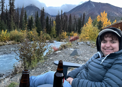
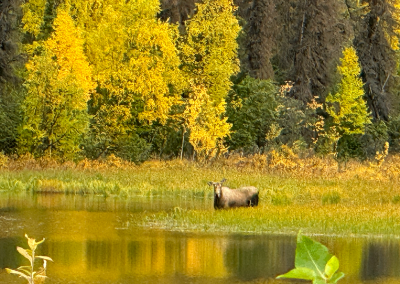
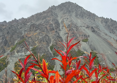
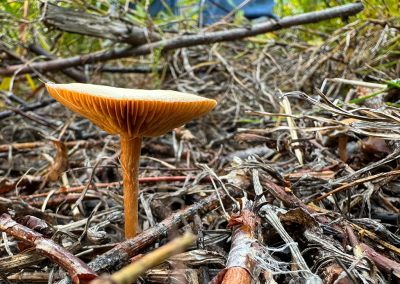
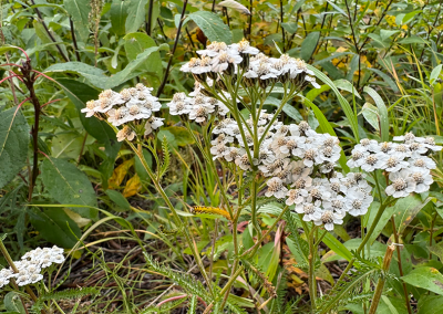
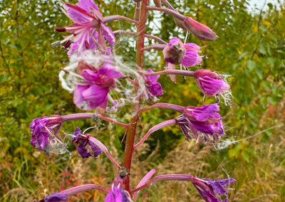
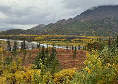
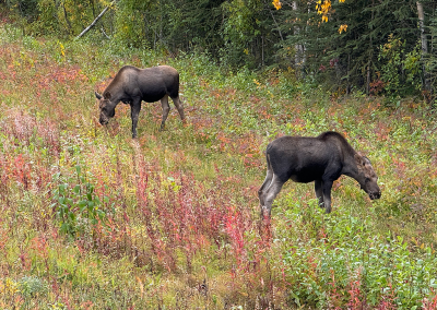
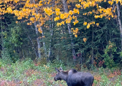
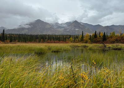
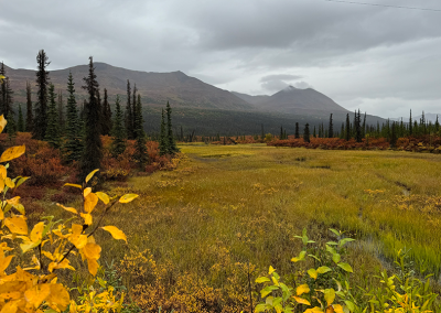
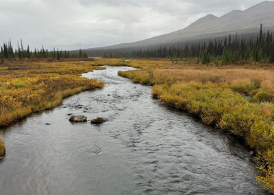
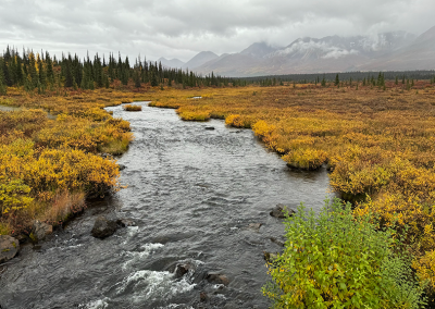
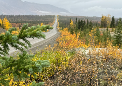
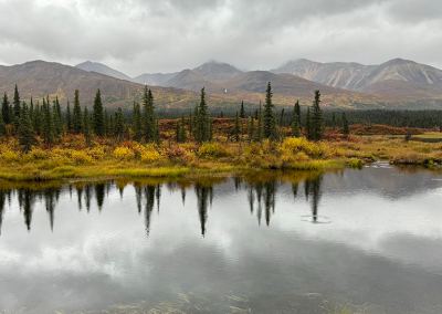
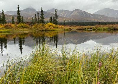
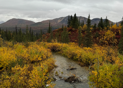
Ruth arranged for a photo tour this evening (she chose to get various memories for me as a birthday present this year – this was the first such excursion). We had a fantastic time. Our photographer guide was nicknamed “Boom.” In addition to providing a number of helpful hints on taking landscape photos, he also took us to some fantastic scenery. And we got to see our first moose on this trip (first ever for me). We also managed to collect some mosquitos near Cantwell for Jose (he is researching various aspects of their biology). We toured along the old Denali Highway (AK Highway 8 – running from Paxson to Cantwell). The road was completed in 1928. Before 1971, this gravel road was the only access to Denali National Park. Some of my photos are shown below. I feel that Boom definitely helped me take much better photos and I am most grateful to Ruth for this birthday tour/ memory.
We learned that the local people (Ahtna – Athabaskan speaking group) have purchased land immediately adjacent to the highway. In Alaska, it is legal to hunt/ shoot an animal from your car. However, they have purchased a 10 yard strip on each side of the highway. In order to retrieve any animal, the hunter has to cross their land. And… That requires a permit (which they charge for). Clever!
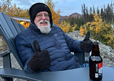
Here are some of the photos we took as night was falling.
